May 26, 2021 - Day Seven, Flight One, Part One
Bryce Canyon NP
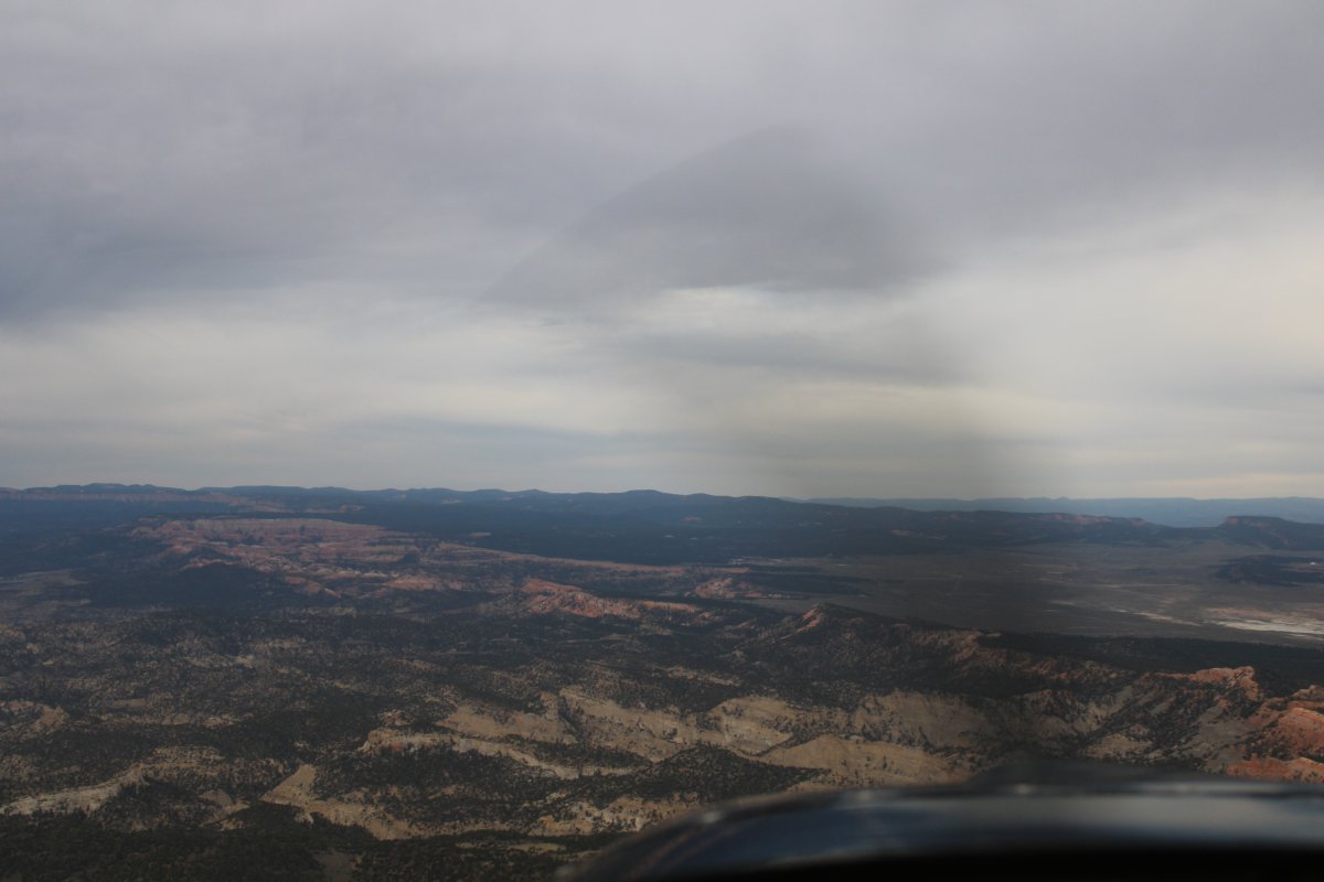
It was overcasty this morning. But the ceiling was high so it wasn't a problem. Yesterday afternoon I flew the eastern side of Escalante; this morning I would fly the southwestern quadrant.
I started by flying west. My first stop would be to check out Bryce Canyon which wasn't far away by air.
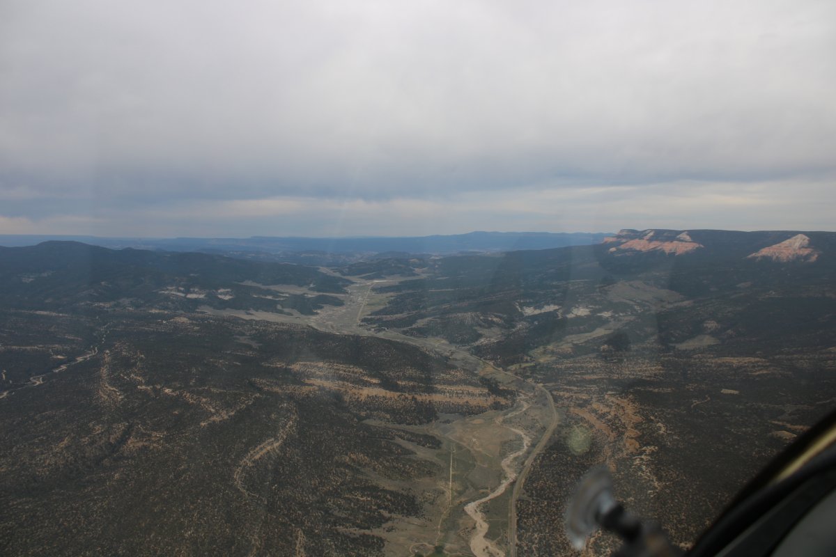
That's Highway 12 down below. Lynnette and I drove Highway 12 back in 2018 and actually passed through Escalante but I don't remember it.
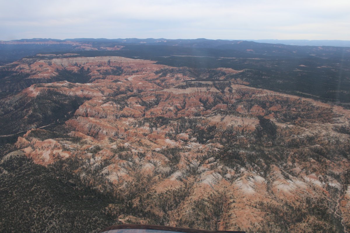
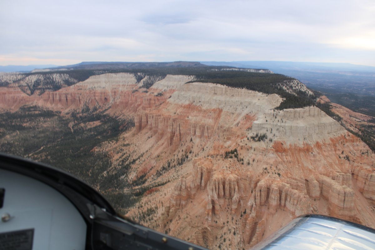
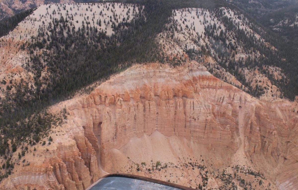
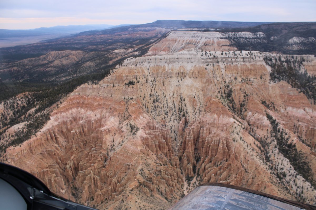
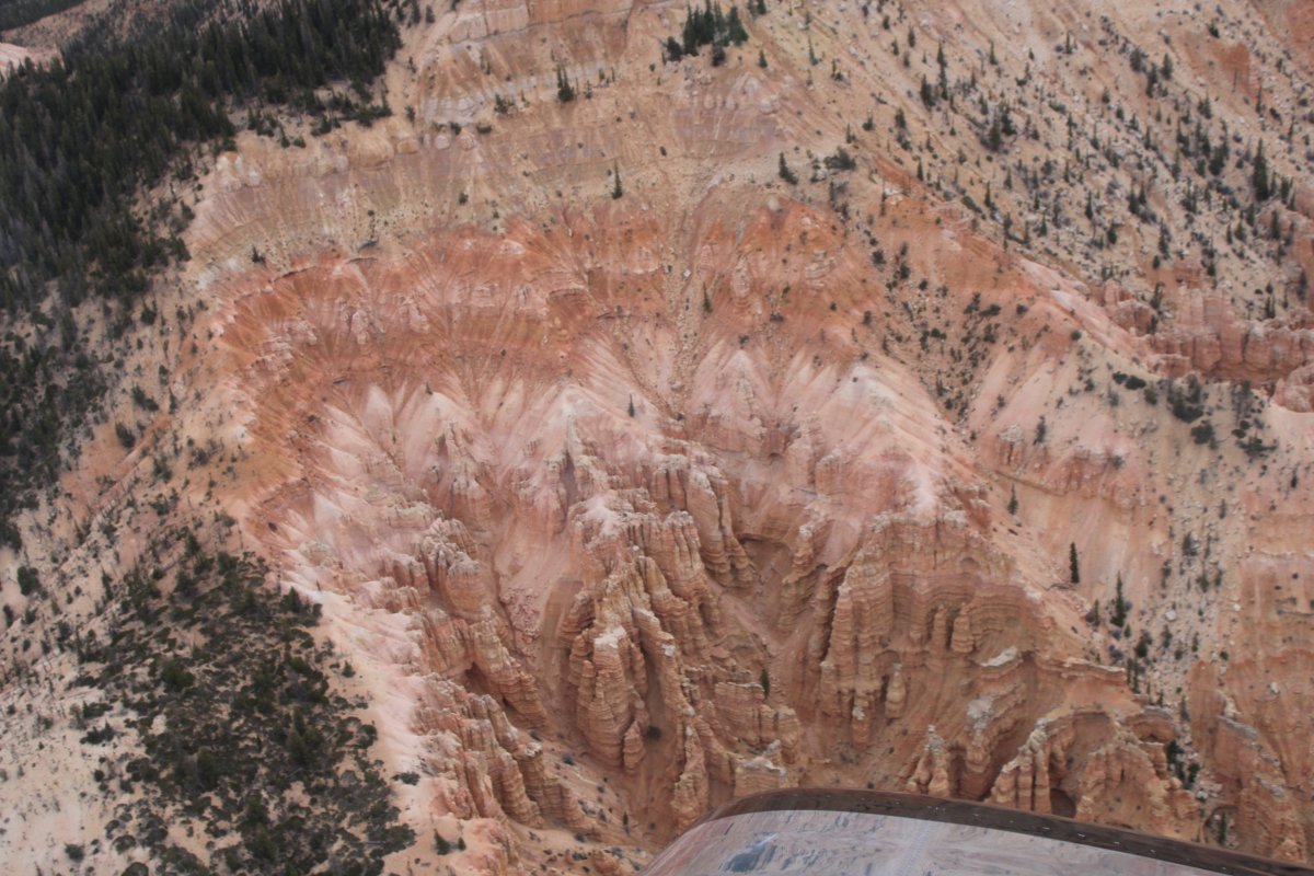
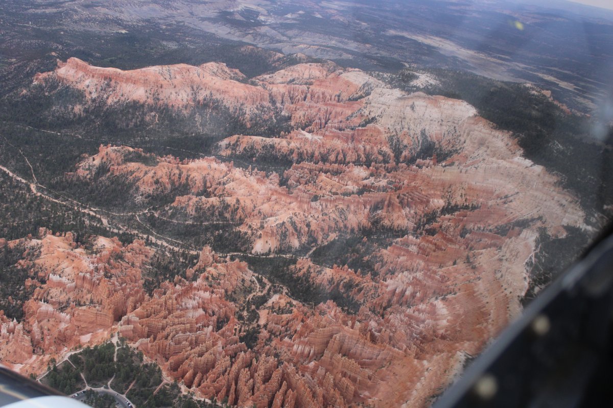
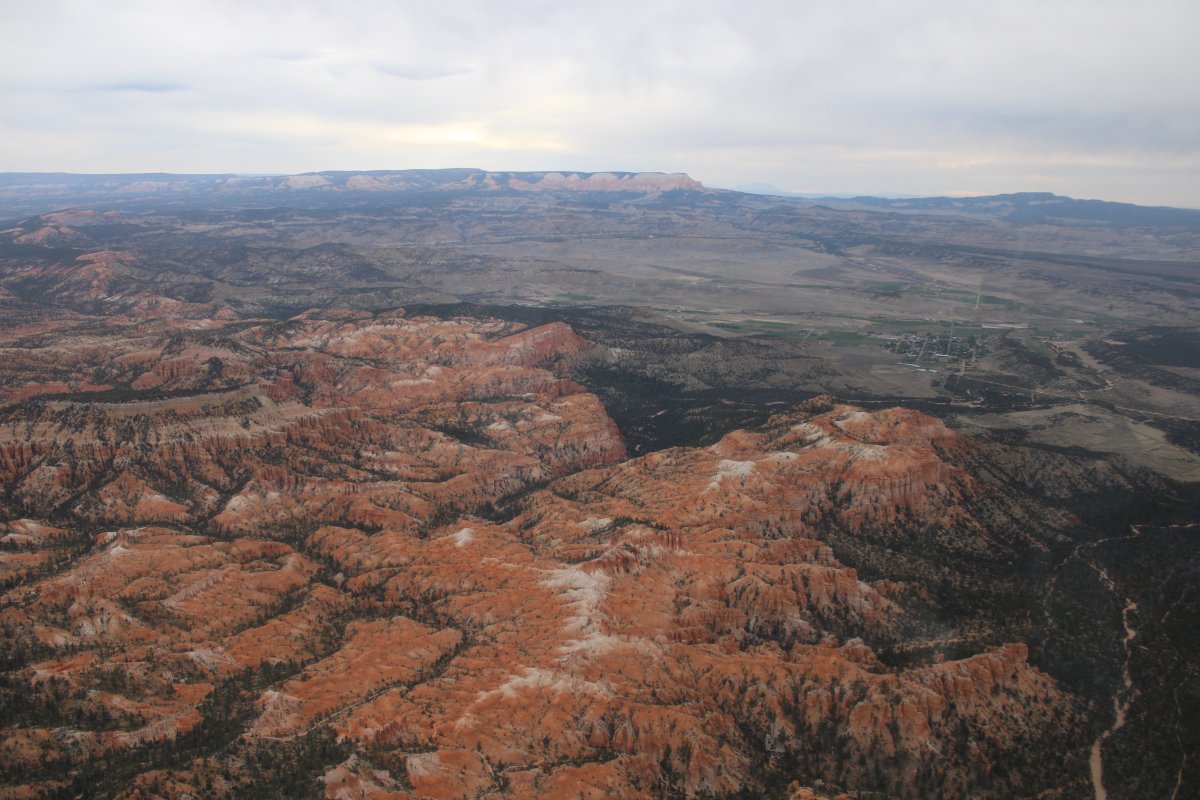
As I looped around the southern end of Barney Top, I realized the west side was very similar to Bryce Canyon National Park. So of course I had to check it out.
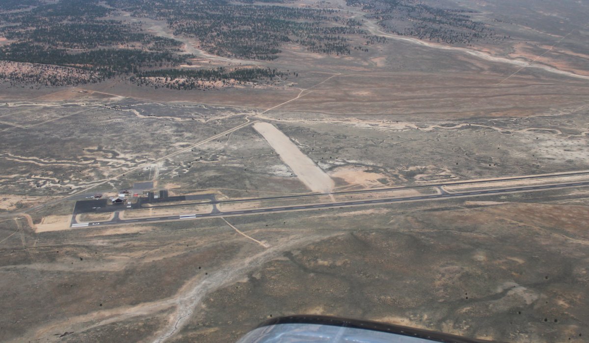
Looking down at Bryce Canyon Airport (KBCE).
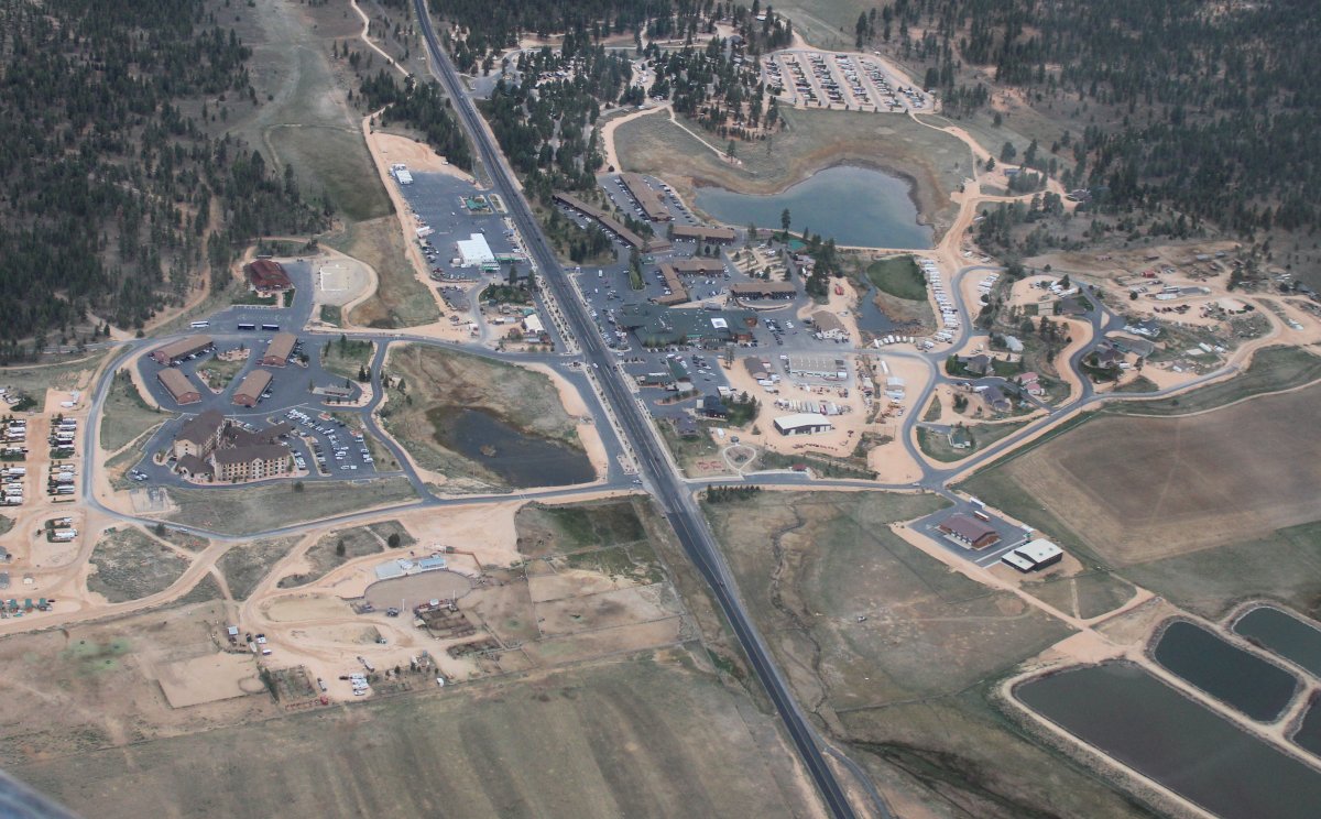
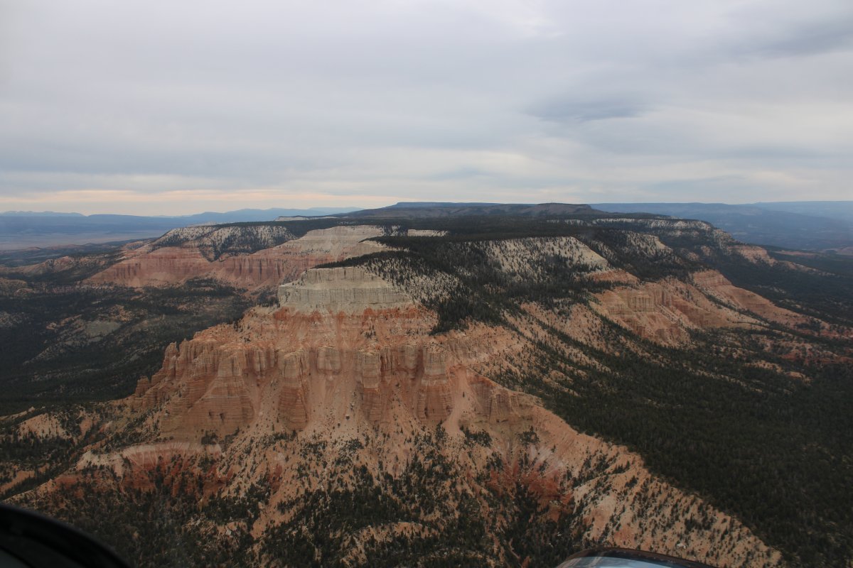
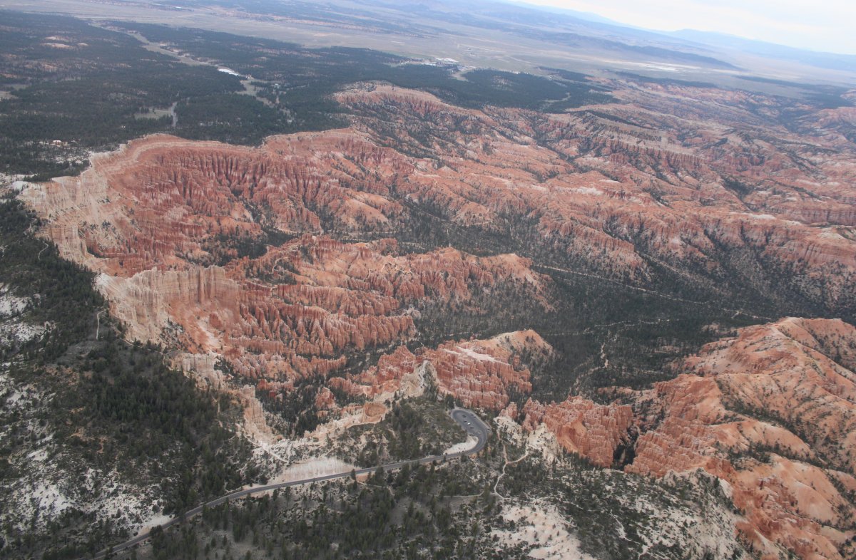
Continuing south, there is the big Bryce Canyon National Park Visitor's Center. Not too crowded this early in the morning (around 7:30 AM)
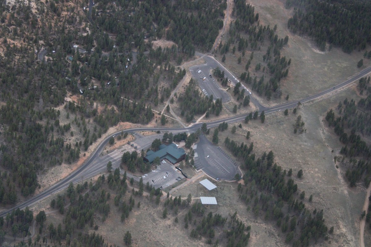
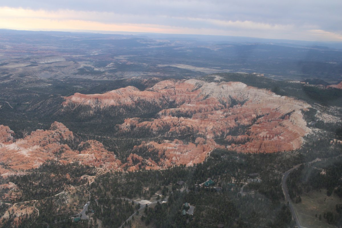
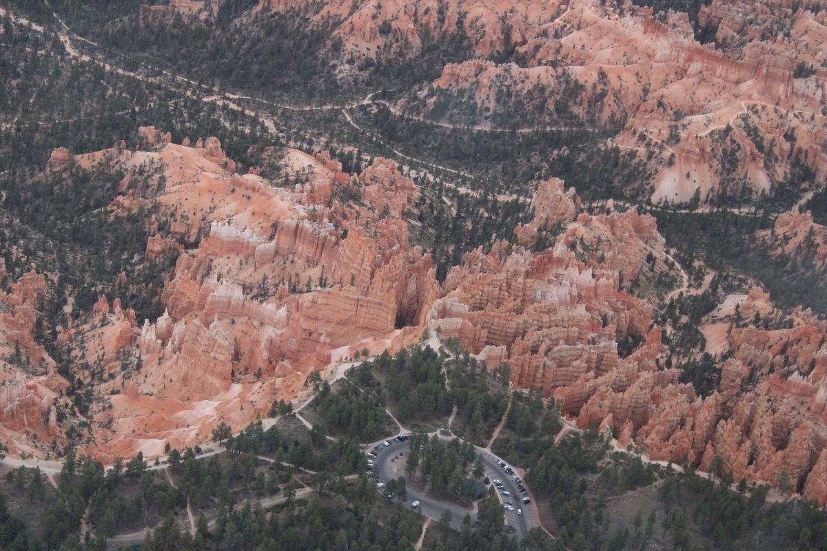
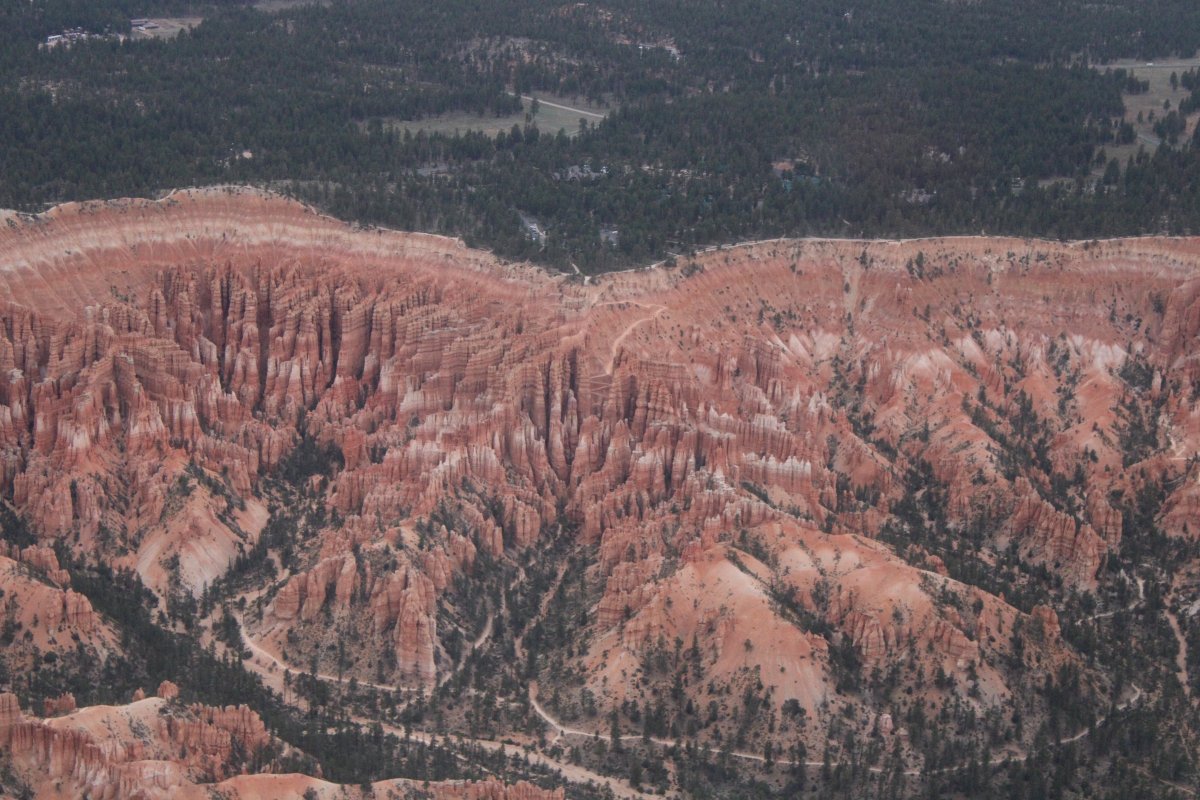
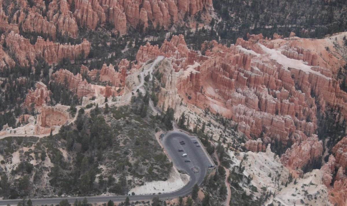
From the air, you can see all the trails running through the Park.
Looking west. The only thing about hiking down into the Park is that you have to hike back UP to the rim.
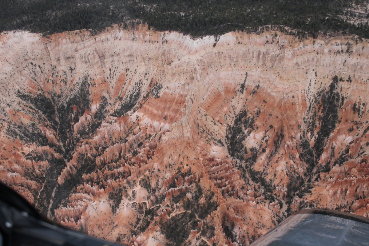
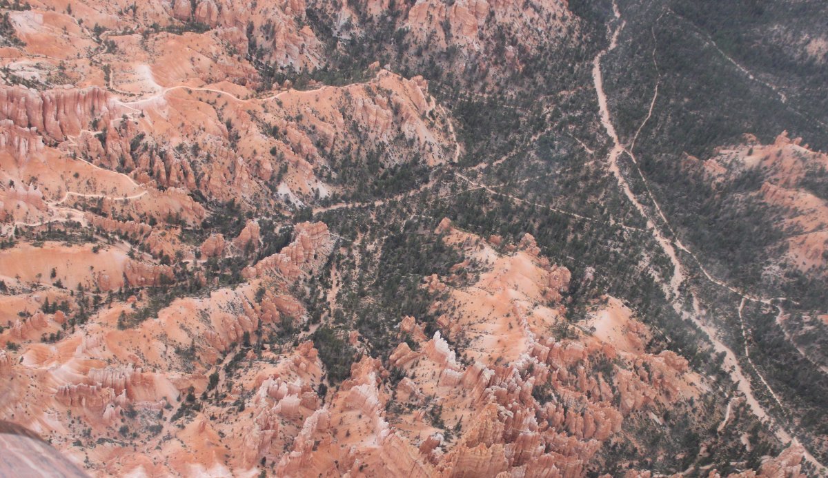
Wall Street and the zig-zag trail up to the rim is visible at the center of the photo.